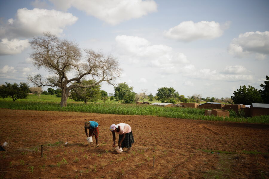
High dependence on climate-sensitive farming increases the vulnerability of northern Ghana. Thus, adapted land-use planning to cope with unfavorable farming conditions is becoming important.
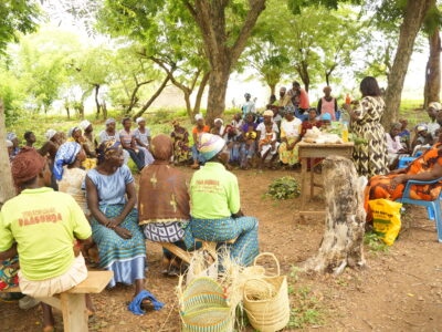
This study aimed to interlink local knowledge about agricultural land-use and ecosystem services (ES), and use the information to assess impacts of land-use scenarios in northern Ghana. The knowledge of local stakeholders was reflected in selection of locally relevant ES, indicator values, and development of scenarios that are applicable in practice and capable of mitigating climate change impacts. A spatially explicit modeling approach employed the collected data to compare the impact of different scenarios, including trade-offs or synergies between ES. The final result was identification of recommended future alternatives.
The involvement of local stakeholders allowed establishment of a shared understanding of the ES concept in the local context. Spatially visualized simulation results facilitated communication with the stakeholders regarding the potential impact of their future decisions, which may increase their awareness of the necessity for appropriate land management.
The scenarios were made in: 2015
The scenarios look out to: 2065


