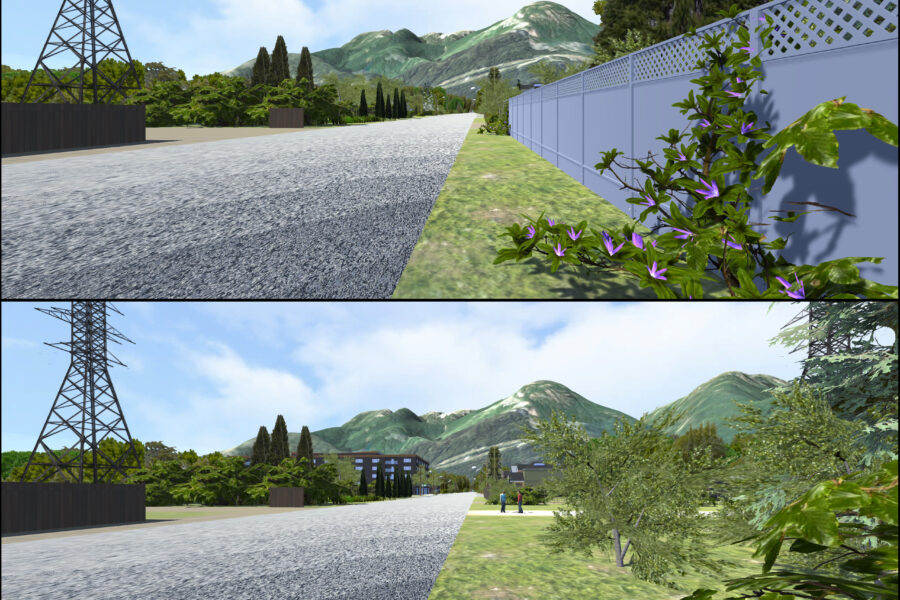
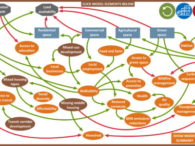
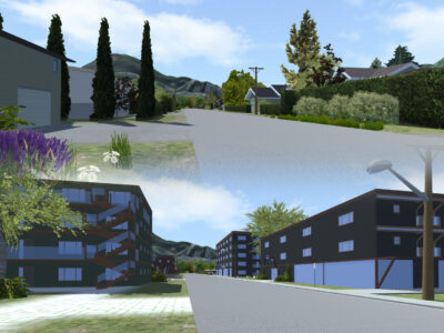
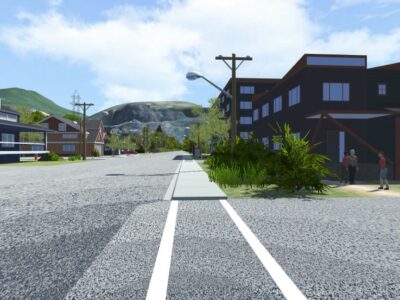
The Spaces, Places and Possibilities project explores ways of developing and using integrated models and realistic visualizations to effectively capture and convey potential outcomes of different development strategies and infrastructure decisions to local government and stakeholders. The project employed a community-based participatory approach in Squamish (BC, Canada), and it consisted of three phases: (1) model and scenario development, (2) scenario modelling, and (3) creating tools for communicating model outcomes, namely a “model explorer” and visualizations. Although the project was conducted in Squamish, its participatory approach for developing community planning and engagement tools can be adapted to communities across the world.
Improved understanding of implications of different land use (trade-offs, limitations associated with space, how certain developments can affect sense of place etc.). The visualizations appeared particularly useful for communicating how certain development patterns could affect liveability and quality of life. Participants noted that the visualizations were particularly useful for illustrating how scenarios align or conflict with values.
The scenarios were made in: 2018
The scenarios look out to: 2036
